
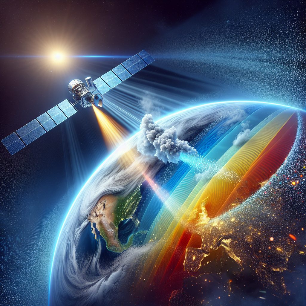
Remote Sensing of Aerosols is a crucial technique used in environmental monitoring and climate research. It involves the collection of information about aerosol particles and their distribution in the atmosphere using remote sensing instruments such as satellites and ground-based sensors. Aerosols, which are tiny solid or liquid particles suspended in the air, play a significant role in climate change, air quality, and atmospheric processes. Therefore, understanding their behavior and impact on our planet is essential for various fields of study.
One unique fact about remote sensing of aerosols is that it enables scientists to measure aerosol properties on a global scale, providing comprehensive data on their distribution and optical properties. The information gathered through this technique allows researchers to assess the impact of aerosols on climate change by studying their role in the Earth’s radiation budget and cloud formation processes. Additionally, remote sensing of aerosols helps in monitoring air quality and studying the effects of aerosols on human health. By analyzing the size, composition, and concentration of aerosols, scientists can better understand their sources, transport mechanisms, and their role in regional and global pollution.
Moving on to the key takeaways, the next part of this article will delve into the various remote sensing techniques used to study aerosols, such as lidar, passive and active remote sensing, and the retrieval of aerosol information from satellite measurements. Moreover, we will explore the applications of remote sensing of aerosols in climate modeling, air quality monitoring, and the study of atmospheric processes. These key takeaways will provide an in-depth understanding of the importance of remote sensing of aerosols and its relevance in environmental and climate sciences. So, stay tuned to discover how this innovative technique contributes to our knowledge of aerosols and their impact on our planet.
Key Takeaways
1. Remote sensing of aerosols refers to the use of satellite-based sensors to measure and monitor the distribution and characteristics of aerosol particles in the Earth’s atmosphere.
2. These sensors use various technologies, such as radiometers and lidars, to detect and measure different properties of aerosols, including their optical properties, size distribution, and vertical profiles.
3. Remote sensing allows for a comprehensive and continuous monitoring of aerosols at a global scale, providing valuable insights into their sources, transport patterns, and interactions with climate and air quality.
4. The information gathered from remote sensing of aerosols is crucial for understanding the impacts of aerosols on weather and climate, as well as for improving air quality forecasting and assessment.
5. Ongoing research and advancements in remote sensing techniques are continuously enhancing our understanding of aerosols and their effects, paving the way for improved atmospheric modeling and more effective measures to mitigate their adverse impacts.
Can Remote Sensing Techniques Detect and Monitor Aerosols Efficiently?
Introduction to Remote Sensing of Aerosols
Remote sensing is a powerful tool that utilizes various sensors and advanced technology to collect data about Earth’s surface from a distance. In the context of aerosols, remote sensing techniques play a crucial role in detecting, monitoring, and studying these tiny particles suspended in the atmosphere. Aerosols have significant impacts on weather patterns, climate change, air quality, and human health. This article explores how remote sensing techniques contribute to the understanding and analysis of aerosols.
Types of Remote Sensing Platforms
Remote sensing of aerosols can be conducted using various platforms, each offering unique advantages and capabilities.
Satellite-based Remote Sensing
Satellites equipped with sensors provide a comprehensive view of aerosols on a global scale. These sensors measure aerosol properties, such as optical depth, size distribution, and composition, by analyzing the interaction of aerosols with sunlight. Satellites can monitor aerosols continuously and capture valuable data over large geographic areas, making them particularly useful for studying long-term aerosol trends and global distribution.
Aircraft-based Remote Sensing
Aircraft can be employed to conduct remote sensing of aerosols at regional scales and lower altitudes compared to satellites. Equipped with specialized instruments, aircraft can collect high-resolution aerosol measurements, enabling detailed studies of aerosol properties within specific areas of interest. This platform is particularly valuable for targeted research campaigns and validation of satellite-based observations.
Ground-based Remote Sensing
Ground-based remote sensing instruments, such as lidars, spectrometers, and radiometers, are widely used to measure aerosol properties at specific locations. These instruments provide detailed vertical profiles of aerosol distribution and optical properties. Ground-based measurements are crucial for validating satellite and aircraft observations and improving the accuracy of aerosol retrievals.
Remote Sensing Techniques for Aerosol Retrieval
Remote sensing techniques employ mathematical algorithms to extract aerosol properties from the collected measurements. Several commonly used techniques include:
Optical Depth Retrieval
The optical depth, a measure of aerosol concentration along the atmospheric column, can be retrieved using satellite data. By analyzing the radiance measurements in different spectral bands, algorithms estimate the optical depth and provide valuable information on the spatial and temporal distribution of aerosols.
Aerosol Size Distribution
Remote sensing techniques can also retrieve the size distribution of aerosols. By analyzing the scattering and absorption characteristics of aerosols at different wavelengths, algorithms estimate the size distribution, providing insights into the dominant aerosol types and their atmospheric behavior.
Aerosol Composition
The composition of aerosols can also be inferred using remote sensing techniques. By employing spectroscopic analysis, algorithms can identify the presence of specific aerosol types, such as dust, pollution, or volcanic ash. This information aids in understanding the sources and transport mechanisms of aerosols.
Applications of Remote Sensing of Aerosols
Remote sensing of aerosols finds applications in various fields, including:
Climate Studies
Aerosols significantly impact Earth’s climate by scattering and absorbing sunlight, thereby influencing the radiation budget. Remote sensing plays a crucial role in quantifying aerosols’ radiative effects, studying their interactions with clouds, and assessing their contribution to climate change.
Air Quality Monitoring
Aerosols have direct implications on the quality of air we breathe. By remotely sensing aerosol concentrations and their composition, scientists can monitor air quality in urban environments, identify pollution sources, and assess the effectiveness of pollution mitigation strategies.
Weather Forecasting
Aerosols affect the formation and evolution of clouds, precipitation patterns, and atmospheric stability, thus impacting weather conditions. Remote sensing provides essential data on aerosol-cloud interactions, enabling improved weather forecasting models and more accurate prediction of severe weather events.
Health Impacts
Aerosol particles, especially those of smaller sizes, can have detrimental effects on human health. Remote sensing aids in assessing human exposure to aerosols, studying their spatial distribution, and helping public health authorities take necessary measures to mitigate the health risks associated with aerosol pollution.
Top 5 Tips for Effective Remote Sensing of Aerosols
1. Ensure proper calibration and validation of remote sensing instruments to obtain accurate and reliable aerosol measurements.
2. Combine data from multiple platforms, such as satellites, aircraft, and ground-based instruments, to complement each other’s strengths and improve overall aerosol retrieval.
3. Validate remote sensing observations with ground-truth measurements and integrate the ground-based data into retrieval algorithms to enhance the accuracy of aerosol properties estimation.
4. Stay updated with the latest remote sensing techniques, algorithms, and data products, as advancements in technology constantly improve the quality and resolution of aerosol measurements.
5. Collaborate with interdisciplinary teams comprising atmospheric scientists, meteorologists, and health professionals to effectively utilize remote sensing data for comprehensive aerosol research, monitoring, and policy-making.
Frequently Asked Questions
What is remote sensing of aerosols?
Remote sensing of aerosols is the process of collecting information about airborne particles, such as dust, smoke, or pollutants, using remote sensing technologies like satellites or aircraft-mounted sensors.
Why is remote sensing of aerosols important?
Remote sensing of aerosols plays a crucial role in monitoring air quality, understanding climate change, and studying the impact of aerosols on human health and the environment. It provides valuable data for researchers, policymakers, and environmental organizations.
How is remote sensing of aerosols done?
Remote sensing of aerosols can be done using various techniques, including passive and active remote sensing. Passive remote sensing involves measuring the sunlight reflected or scattered by aerosols, while active remote sensing utilizes laser or radar systems to directly measure the properties of aerosols.
What are the advantages of remote sensing of aerosols?
Remote sensing of aerosols offers several advantages. It provides large-scale coverage, allowing for a comprehensive understanding of aerosol distribution, and it enables long-term monitoring, assisting in trend analysis and the detection of changes over time. Additionally, it can provide data on areas that are difficult to access or study using ground-based methods.
What are the main applications of remote sensing of aerosols?
Remote sensing of aerosols finds applications in various fields. It is used for air quality monitoring in urban areas, assessing the impact of industrial activities, studying the transport of dust or pollutants across regions, and investigating the role of aerosols in climate change and weather patterns.
How accurate is remote sensing of aerosols?
The accuracy of remote sensing of aerosols depends on various factors, such as the type of instrument used, atmospheric conditions, and calibration procedures. Advanced remote sensing techniques have shown significant improvements in accuracy, but it is important to consider potential uncertainties and limitations when interpreting the data.
Can remote sensing of aerosols detect different types of aerosols?
Yes, remote sensing of aerosols can detect a wide range of aerosol types, including natural ones like mineral dust or volcanic ash, as well as anthropogenic aerosols resulting from human activities such as pollution or industrial emissions. Different remote sensing techniques and spectral analysis help distinguish and characterize these aerosols.
How can remote sensing of aerosols contribute to human health studies?
Remote sensing of aerosols provides valuable data for studying the impact of aerosols on human health. By understanding the distribution and concentration of pollutants or harmful particles in the atmosphere, researchers can assess the potential exposure and associated health risks for populations residing in different geographical areas.
What are the challenges in remote sensing of aerosols?
Remote sensing of aerosols faces several challenges. One of them is the accurate retrieval of aerosol properties from the measured signals, as multiple factors can influence the observed characteristics. Additionally, cloud cover or atmospheric conditions can hinder the accurate observation of aerosols. Continuous technological advancements and improved algorithms aim to address these challenges.
Is remote sensing of aerosols used in climate change studies?
Yes, remote sensing of aerosols plays a crucial role in climate change studies. Aerosols have both direct and indirect effects on the climate system, affecting the energy balance of the Earth’s atmosphere. Remote sensing techniques provide vital data to understand aerosol radiative forcing and their interactions with clouds, contributing to climate models and efforts to mitigate climate change.
Final Thoughts
Remote sensing of aerosols has revolutionized our ability to understand the distribution, composition, and impact of airborne particles on our planet. By harnessing the power of advanced technologies and satellite-based observations, we can capture comprehensive data sets that aid in addressing major environmental challenges. Whether it’s tracking the spread of air pollution, monitoring changes in air quality, or studying the role of aerosols in climate change, remote sensing of aerosols offers invaluable insights for scientific research, policy-making, and initiatives to safeguard the health of our planet.
As our understanding of remote sensing techniques continues to grow, so does the potential for innovative applications in various fields. The combination of remote sensing with other data sources, such as ground-based measurements or modeling, allows for a holistic analysis of aerosols and their intricate interactions with the environment. Continued advancements in remote sensing technology and the development of robust data analysis techniques will further enhance our knowledge and contribute to effective strategies to mitigate the detrimental effects of aerosols on human health and the climate.